Robot teams that map and localize where GNSS is denied.
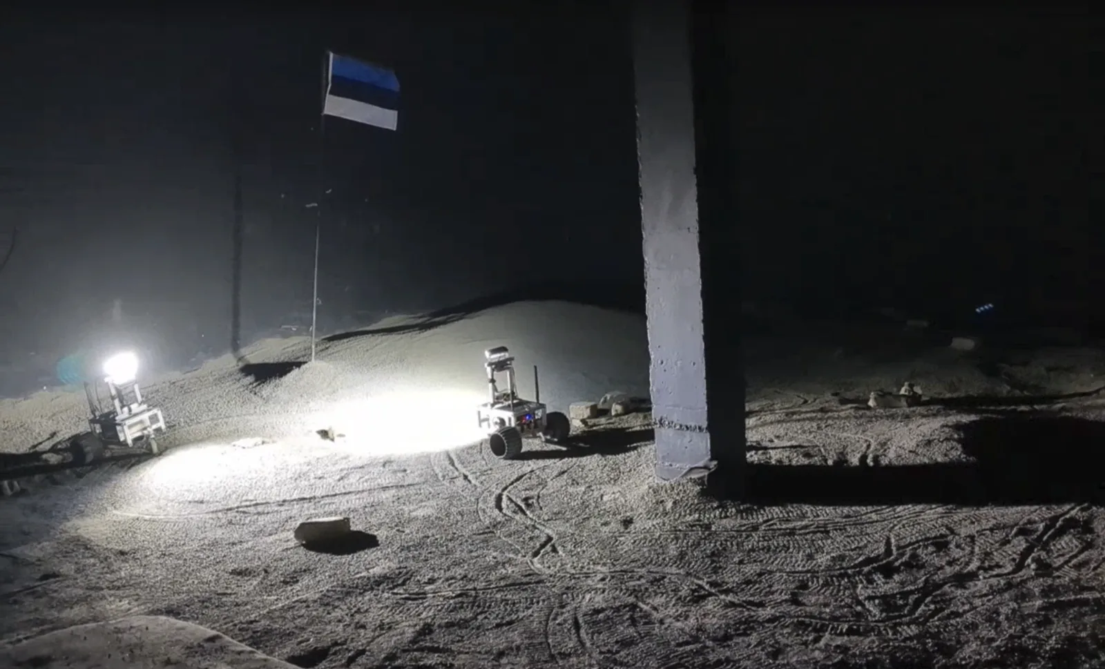
RMAP — our Resilient Multi-Agent Autonomy Platform — is an SDK and operator dashboard that keeps a fleet of robots on one shared map in GNSS-denied environments.
No base station. No leader.
Each robot runs its own SLAM; teammates exchange data through synchronized layers anchored to the shared pose graph.
Taara Robotics is supported by ESA BIC Estonia and Tehnopol
Who we are looking for
Early adopters
Running robots in GNSS-denied environments? Trial RMAP with us and help shape what it becomes.
Trial RMAPSensor manufacturers
Test your cameras, IMUs, LiDAR, or ranging hardware on a live multi-robot SLAM stack.
Test your hardwareUGV developers
Integrate decentralized multi-agent autonomy into your UGVs — instead of building a SLAM and fleet-coordination stack in-house.
Integrate RMAP
RMAP in 60 seconds
Five rovers, one shared map, no base station.
What your team gets
The shared map frame is the foundation. On top of it, RMAP keeps the mission state in one place.
Tagged finds
Mark a point of interest — a sample, a hazard, a landing spot — and it persists as a landmark in a layer shared across every rover’s map.
Your own layers
Bring your own data layers — temperature, ground strength, radiometrics — synchronized across the fleet and anchored to poses in the shared pose graph.
No central dispatcher
Fully peer-to-peer task allocation: any rover posts a task, the best-positioned rover claims it, and the fleet observes the outcome.
Your hardware or ours
Deploy RMAP on your existing fleet, or pair the SDK with our hardware kit.
Real-time 3D mapping for Earth and beyond
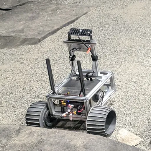
Autonomy
Our decentralized stack lets each robot navigate and map GNSS-denied environments on its own, adapting to unknown terrain in near real time.

Collaboration
Robots run their own SLAM and stay aligned through synchronized data layers, optimized against a shared pose graph.
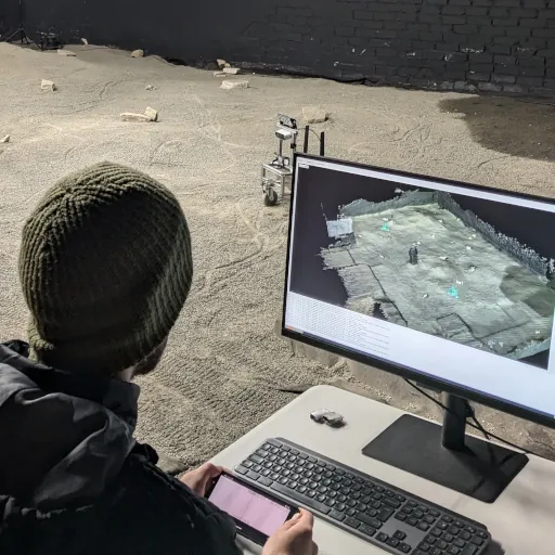
Precision
High-accuracy localization — each robot’s pose is refined continuously through pose-graph optimization.